Understanding Contour Lines
Understanding Contour Lines
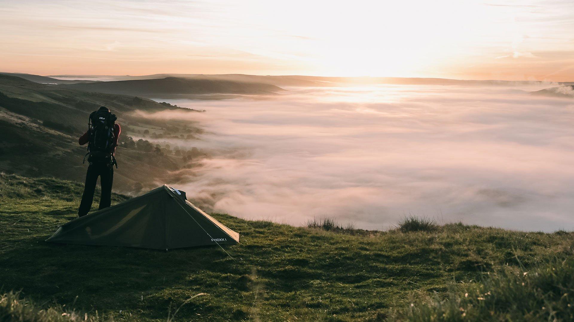
Understanding key navigational points on a map is crucial for any successful and safe outdoor adventure. In the second part of our Life Outdoors navigation series we look at contour lines.
What are Contour Lines?
Contour lines are used to join points of equal height. They tell you a story about the terrain you are approaching and what to expect. Understanding contour lines is vital to navigating safely and effectively.
A contour is shown as a brown line on the map. Each line depicts a 5m or 10m change in height which can be understood using the key on your map. Every 50m there is a thicker line with the height above sea level marked on the map. The closer the contour lines are the steeper the slope, the more spaced out they are the flatter the land.
The numbers are displayed in ascending height. An increase shows ascent and decrease shows descent. Contour lines on a map allow you to transform a 2 dimensional map into a 3 dimensional picture of the landscape around you.

Key Contour Features:
Summits - these are usually depicted by a series of smaller circles.
Flat Land - flat areas usually have little or no contour lines, there is a lot of white space.
Cliffs - contours are on top of each other depicting a very steep drop off.
Spur - U shaped contours depict the spur of a hill..
Ridge - descending contours on both sides of a path shows that you will be on a ridge.
Valley/Col - ascending contours on both sides of a path shows that you will be in a valley or col.
Waterfalls - V shaped contours with a blue water line shows a stream/river and possibly a waterfall. If you are planning on ascending/descending via a waterfall, by looking at the severity of the contours it will give you an idea of the steepness.

How Does Elevation Affect Distance
Imagine you have measured your distance as 5km flat on the map. If you then count the contours, say you gained and lost 500m in total, your actual distance is 5.5km. It is important to be aware of this so you don’t underestimate the walk.
Join the conversation and share your map reading skills below or on our Facebook, Twitter or Instagram pages now.