Sunset Hikes: UK’s Best Destinations For Sunset Walks
Ahead of the brighter days, the outdoor experts here at Blacks have analysed data on average sunset times, cloud coverage, and the number of hiking trails across UK regions to reveal the 10 best destinations for a sunset hike.
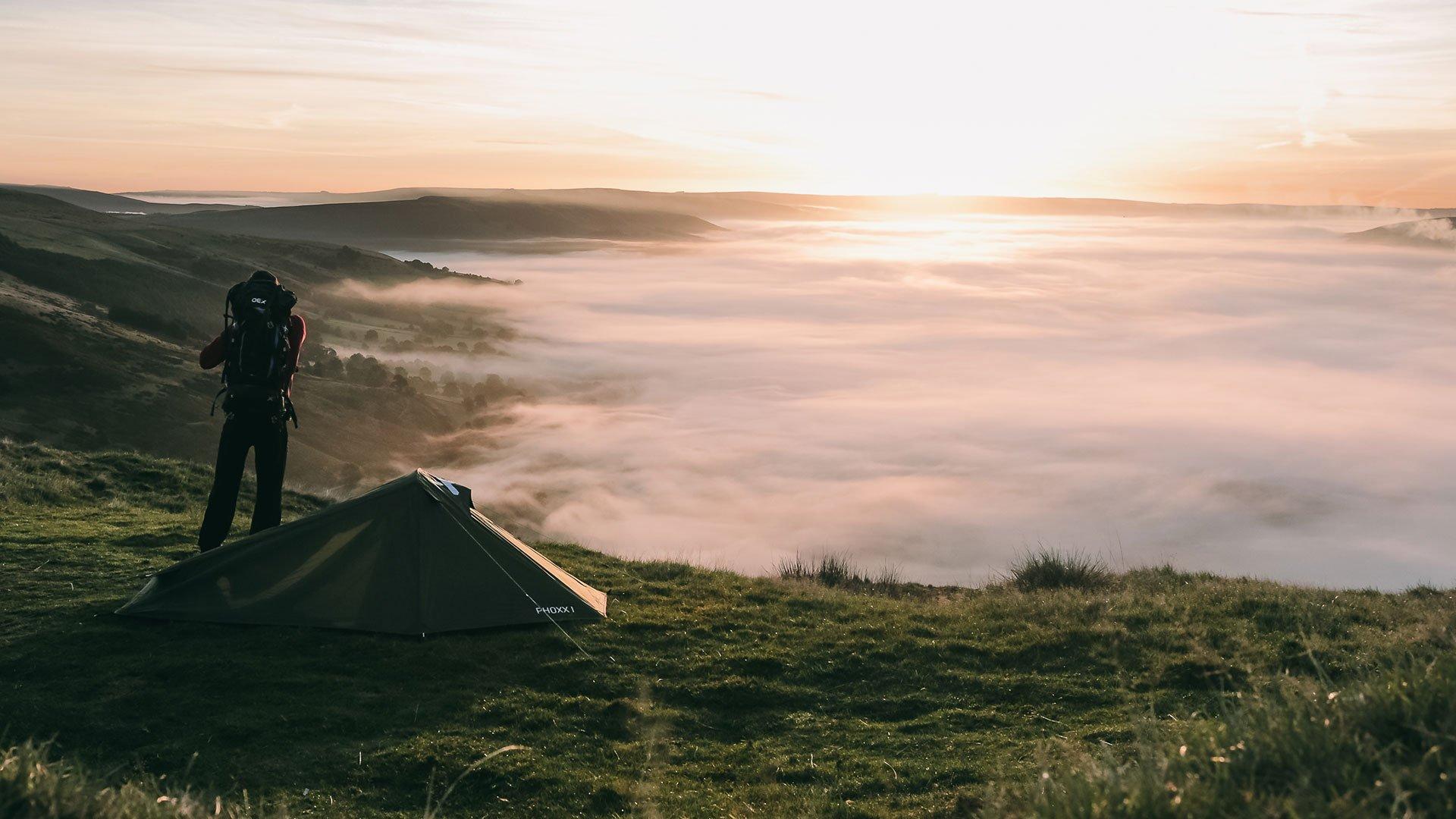
 Photo by Rob Bates on Unsplash
Sunset hikes are becoming increasingly popular, with searches increasing by 191% in the past three months. Summer is the perfect time to go on a sunset hike. The skies are much clearer, making for better sunsets, and the warmer weather helps hikers to be more comfortable.
The 10 Best UK Regions For Sunset Hikes
|
Rank |
Area |
Area (km²) |
Average Summer Sunset Time |
Trails per 10km² |
Average Cloud Cover Across Summer Months |
Sunset Score /10 |
|
1 |
South Downs |
636 |
20:56 |
17.3 |
53.7% |
9.67 |
|
2 |
Peak District |
1,438 |
21:13 |
10.2 |
49.7% |
9.22 |
|
3 |
Mourne Mountains |
150 |
21:34 |
12.6 |
47.3% |
9.00 |
|
4 |
Mendip Hills |
200 |
21:07 |
6.0 |
53.0% |
8.79 |
|
5 |
Brecon Beacons |
1,347 |
21:12 |
3.3 |
49.3% |
8.78 |
|
6 |
Cotswolds |
2,038 |
21:06 |
3.2 |
52.3% |
8.58 |
|
7 |
Snowdonia |
2,132 |
21:21 |
3.6 |
47.7% |
8.57 |
|
8 |
Lake District |
2,362 |
21:24 |
8.2 |
48.0% |
8.56 |
|
9 |
Yorkshire Dales |
2,179 |
21:19 |
2.6 |
46.7% |
8.33 |
|
10 |
Dartmoor |
954 |
21:09 |
3.5 |
53.3% |
7.89 |
The South Downs take the top spot as the best place to watch sunsets. With famous walks such as ‘Seven Sisters’, ‘Meon Valley Trail’ and ‘Cissbury Ring Walk’, hikers have plenty of choice where to hike for beautiful views. Ditchling Beacon is the second-highest point of the South Downs National Park and offers uninterrupted panoramic views, looking south to the sea and north to the Sussex countryside.
In second place is the Peak District. The gritstone edges that can be seen in a lot of Peak District walks reflect beautiful sunset colours, and the high peaks offer panoramic views of nearby valleys. Ridges, including the Bamford Edge and Stanage Edge, are often considered the best sunset views. Bamford Edge is just 20 minutes away from the layby, meaning that hikers don’t have to walk too far in the dark once the sun sets.
 Photo by Chris Spalton on Unsplash
In third place are the Mourne Mountains. Located in County Down, the mountains are famous for sweeping down to the Irish Sea, and they contain Northern Ireland’s highest peak. Doan Mountain, located in the Central Mournes, offers a 360° panoramic view of the high peaks. For those not wanting to climb the 593-metre elevation, Murlough Beach offers breathtaking views of Slieve Donard and the rest of the Mourne Mountains. The wet sand helps to reflect the changing light, creating breathtaking views of vibrant, fiery colours.
How to pack for sunset hikes
It is important to pack correctly for a sunset hike. Temperatures can drop dramatically once the sun sets, and hikers finishing their journey will likely face cold and bitter weather. It is good practice to wear layers of clothing that can be removed and adjusted as the sun sets and the temperature changes. Alongside this, always check the forecast before you leave for any unsettled conditions; if heavy rain is forecast, you may also want to consider adding waterproof layers.
After the sun sets, you’ll likely have minimal natural light. Therefore, you must bring a torch or headtorch and ensure that it is well-charged. It can be easy to stray from routes, lose your footing, or you may even encounter wild animals. When choosing a spot to view the sunset, make sure you’re careful to inspect where you stand or sit and don’t get too close to exposed edges when at a height. Always wear appropriate footwear when heading out on a walk or hike to prevent injury and ensure comfort.
Methodology
We created a seed list of popular UK hiking areas that are suitable for sunset views and ranked them based on the following factors:
1. Average summer sunset time
We calculated the average sunset time for each location across the summer months, using sunset times for 15th June, 15th July and 15th August from https://www.timeanddate.com/. An earlier average sunset time ranked higher.
2. Trail density
We took the number of hiking routes listed on https://www.alltrails.com/ for each area and normalised this by area size, calculating the number of trails per 10 square kilometres. A higher trail density ranked better.
3. Cloud Cover
We calculated the average cloud cover percentage across the summer months, using cloud cover data for 1st June, 1st July and 1st August) from https://weatherspark.com/. A lower average cloud cover percentage ranked higher.
Each factor was normalised into a score out of 10, with earlier sunsets, higher trail density and lower cloud cover scoring more favourably. The final index score was calculated by taking the average of the three factor scores.
Natalie Wolfenden
Author and Outdoor Enthusiast An outreach and content marketing specialist with over a decade’s experience in related marketing roles, Natalie is lucky enough to work with outdoor specialists, ambassadors, charities and brands on exciting projects around inspiring and equipping people for life outdoors.