Showing 576 of 869 results
-
-
-
-
-
-
-
-
-
-
-
-
-
-
-
-
-
-
-
-
-
-
-
-
-
-
-
-
-
-
-
-
-
-
-
-
-
-
-
-
-
-
-
-
-
-
-
-
-
-
-
-
-
-
-
-
-
-
-
-
-
-
-
-
-
-
-
-
-
-
-
-
-
-
-
-
-
-
-
-
-
-
-
-
-
-
-
-
-
-
-
-
-
-
-
-
-
-
-
-
-
-
-
-
-
-
-
-
-
-
-
-
-
-
-
-
-
-
-
-
-
-
-
-
-
-
-
-
-
-
-
-
-
-
-
-
-
-
-
-
-
-
-
-
-
-
-
-
-
-
-
-
-
-
-
-
-
-
-
-
-
-
-
-
-
-
-
-
-
-
-
-
-
-
-
-
-
-
-
-
-
-
-
-
-
-
-
-
-
-
-
-
-
-
-
-
-
-
-
-
-
-
-
-
-
-
-
-
-
-
-
-
-
-
-
-
-
-
-
-
-
-
-
-
-
-
-
-
-
-
-
-
-
-
-
-
-
-
-
-
-
-
-
-
-
-
-
-
-
-
-
-
-
-
-
-
-
-
-
-
-
-
-
-
-
-
-
-
-
-
-
-
-
-
-
-
-
-
-
-
-
-
-
-
-
-
-
-
-
-
-
-
-
-
-
-
-
-
-
-
-
-
-
-
-
-
-
-
-
-
-
-
-
-
-
-
-
-
-
-
-
-
-
-
-
-
-
-
-
-
-
-
-
-
-
-
-
-
-
-
-
-
-
-
-
-
-
-
-
-
-
-
-
-
-
-
-
-
-
-
-
-
-
-
-
-
-
-
-
-
-
-
-
-
-
-
-
-
-
-
-
-
-
-
-
-
-
-
-
-
-
-
-
-
-
-
-
-
-
-
-
-
-
-
-
-
-
-
-
-
-
-
-
-
-
-
-
-
-
-
-
-
-
-
-
-
-
-
-
-
-
-
-
-
-
-
-
-
-
-
-
-
-
-
-
-
-
-
-
-
-
-
-
-
-
-
-
-
-
-
-
-
-
-
-
-
-
-
-
-
-
-
-
-
-
-
-
-
-
-
-
-
-
-
-
-
-
-
-
-
-
-
-
-
-
-
-
-
-
-
-
-
-
-
-
-
-
-
-
-
-
-
-
-
-
-
-
-
-
-
-
-
-
-
-
-
-
-
-
 Ordnance Survey Landranger Active 190 Bude & Clovelly, Boscastle & Holsworthy Map With Digital Version£10.20
£17.00(Save 40%)Size in stock : One Size
-
-
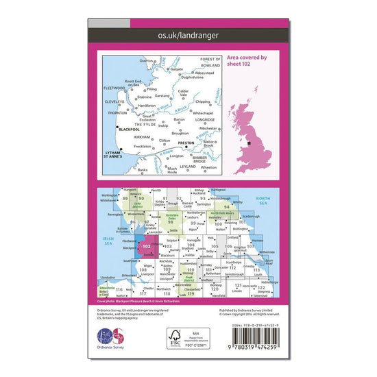
 Ordnance Survey Landranger Active 102 Preston & Blackpool, Lytham Map With Digital Version£10.20
£17.00(Save 40%)Size in stock : One Size
-
-
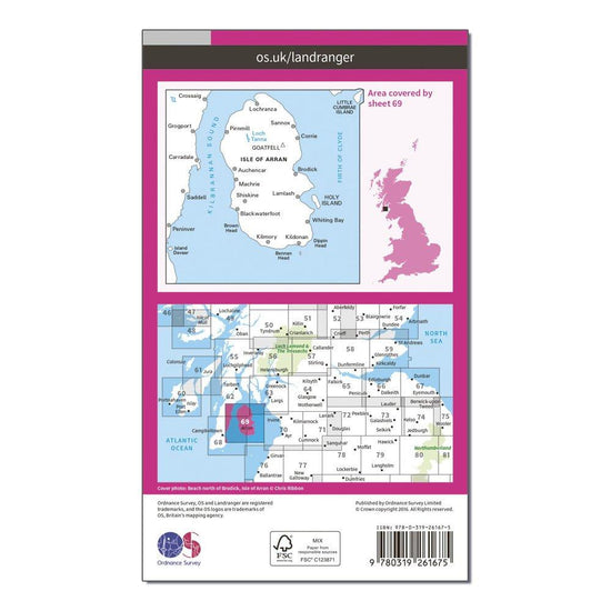
 Ordnance Survey Landranger 69 Isle of Arran Map With Digital Version£7.80
£13.00(Save 40%)Size in stock : One Size
-
-
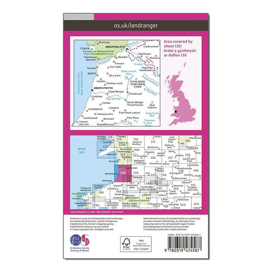
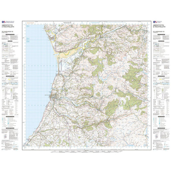
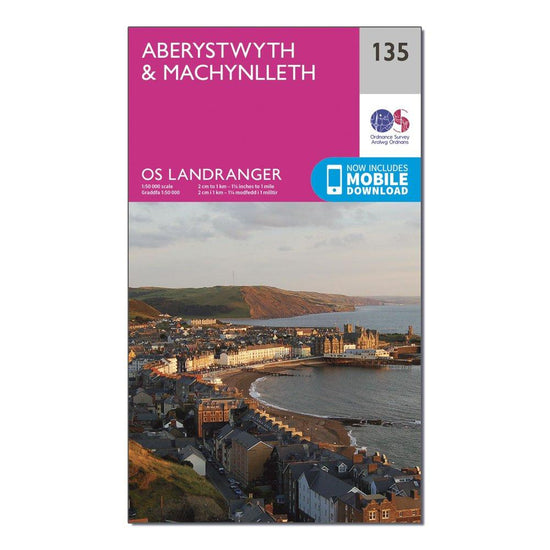
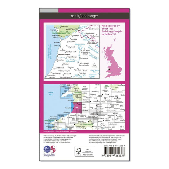
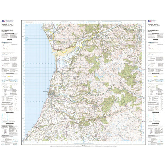
 Ordnance Survey Landranger Active 135 Aberystwyth & Machynlleth Map With Digital Version£10.20
£17.00(Save 40%)Size in stock : One Size
-
-
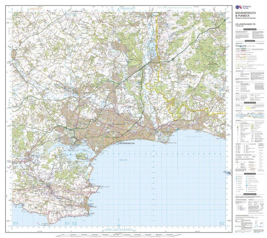
 Ordnance Survey Landranger 195 Bournemouth & Purbeck, Wimborne Minster & Ringwood Map With Digital Version£7.80
£13.00(Save 40%)Size in stock : One Size
-
-
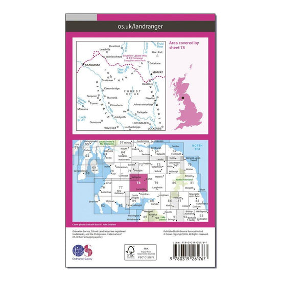
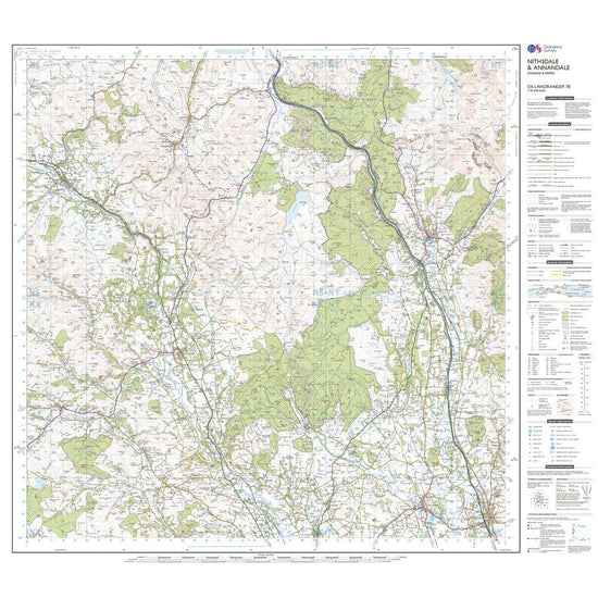
 Ordnance Survey Landranger 78 Nithsdale & Annandale, Sanquhar & Moffat Map With Digital Version£7.80
£13.00(Save 40%)Size in stock : One Size
-
-
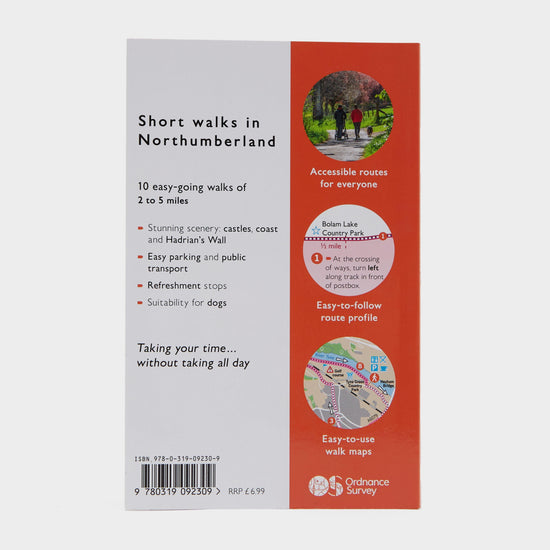
 Ordnance Survey Short Walks Made Easy – Snowdonia£6.00
£7.00(Save 14%)Size in stock : One Size
-
-
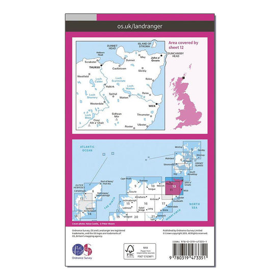
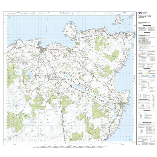
 Ordnance Survey Landranger Active 12 Thurso & Wick, John O'Groats Map With Digital Version£10.20
£17.00(Save 40%)Size in stock : One Size
-
-
 Ordnance Survey Short Walks Made Easy – Aviemore and the Cairngorms£6.00
£7.00(Save 14%)Size in stock : One Size
-
Ordnance Survey Landranger 73 Peebles, Galashiels & Selkirk, Tweed Valley Map With Digital Version£7.80
£13.00(Save 40%)Size in stock : One Size
-
-
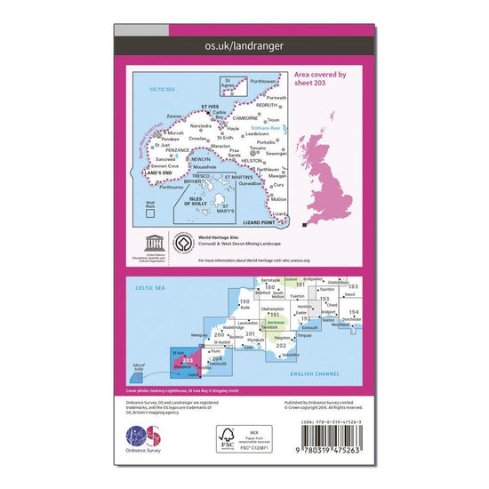
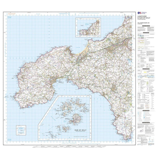
Ordnance Survey Landranger Active 203 Land's End, Isles of Scilly, St Ives & Lizard Point Map With Digital Version£10.20
£17.00(Save 40%)Size in stock : One Size
-
-
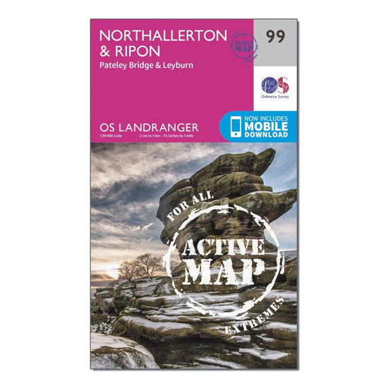
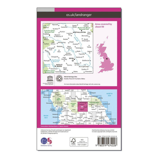
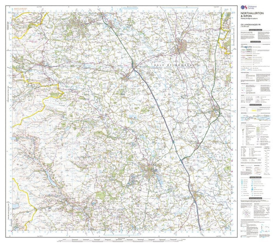
Ordnance Survey Landranger Active 99 Northallerton & Ripon, Pateley Bridge & Leyburn Map With Digital Version£10.20
£17.00(Save 40%)Size in stock : One Size
-
-
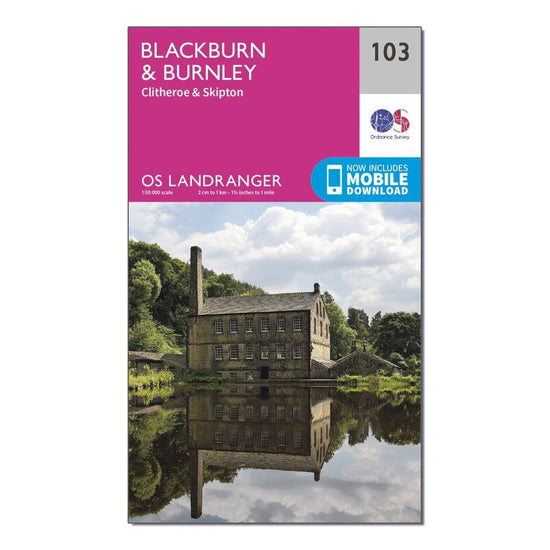
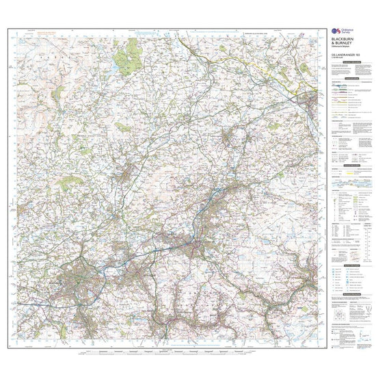
Ordnance Survey Landranger 103 Blackburn & Burnley, Clitheroe & Skipton Map With Digital Version£7.80
£13.00(Save 40%)Size in stock : One Size
-
-
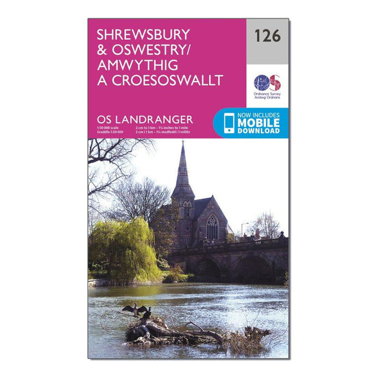
Ordnance Survey Landranger 126 Shrewsbury & Oswestry Map With Digital Version£7.80
£13.00(Save 40%)Size in stock : One Size
-
-
Ordnance Survey Landranger 161 The Black Mountains Map With Digital Version£7.80
£13.00(Save 40%)Size in stock : One Size
-
-
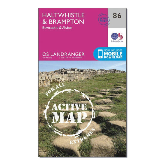
Ordnance Survey Landranger Active 86 Haltwhistle & Brampton, Bewcastle & Alston Map With Digital Version£10.20
£17.00(Save 40%)Size in stock : One Size
-
-
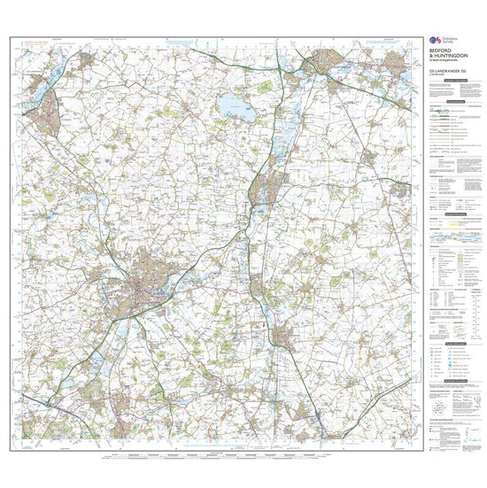
Ordnance Survey Landranger 153 Bedford, Huntingdon, St Neots & Biggleswade Map With Digital Version£7.80
£13.00(Save 40%)Size in stock : One Size
-
-
Ordnance Survey Landranger 184 Salisbury & The Plain, Amesbury Map With Digital Version£7.80
£13.00(Save 40%)Size in stock : One Size
-
-
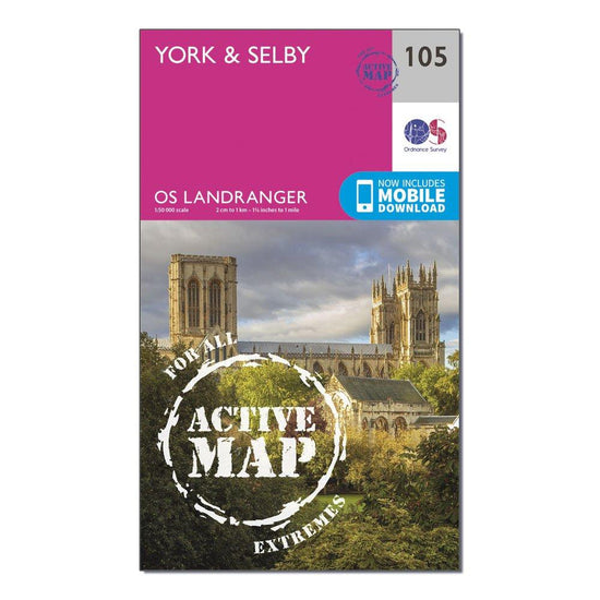
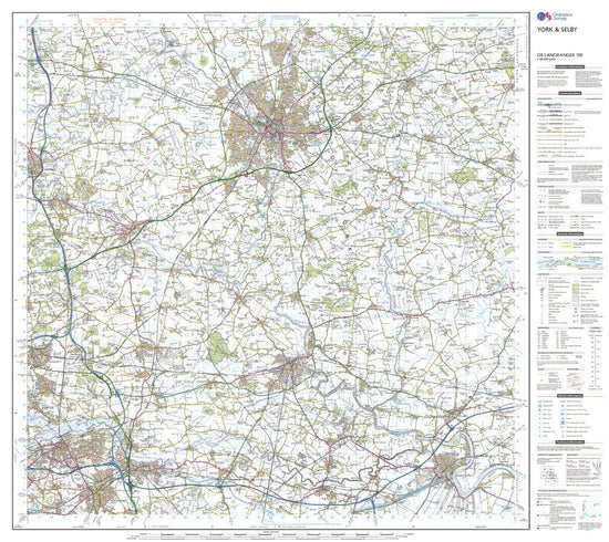
Ordnance Survey Landranger Active 105 York & Selby Map With Digital Version£10.20
£17.00(Save 40%)Size in stock : One Size
-
-
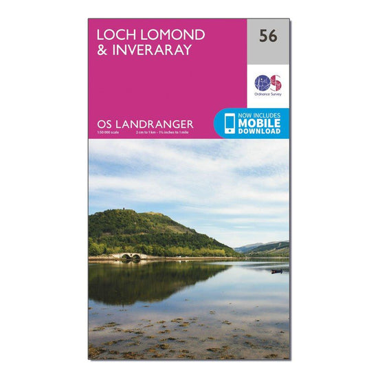
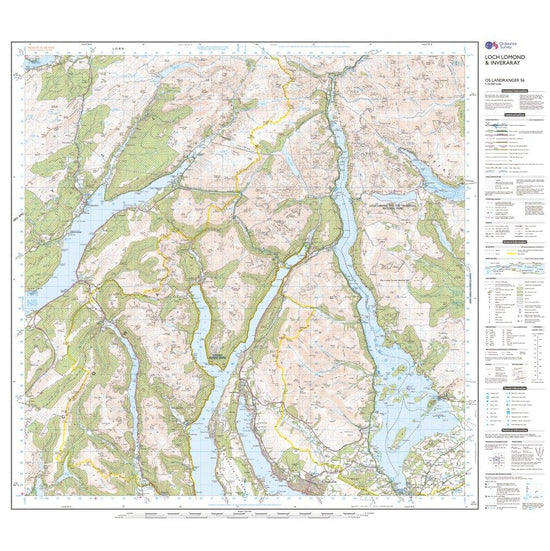
Ordnance Survey Landranger 56 Loch Lomond & Inveraray Map With Digital Version£7.80
£13.00(Save 40%)Size in stock : One Size
-
-
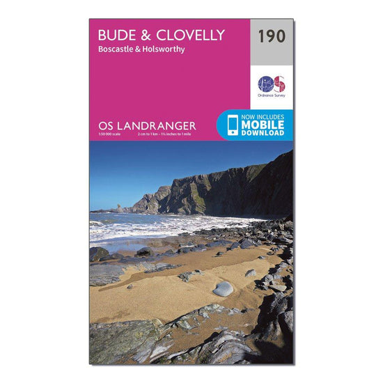
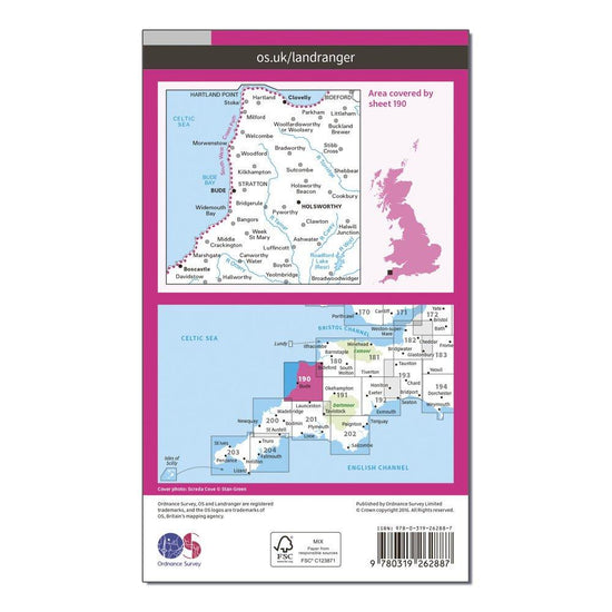
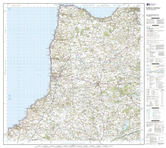
Ordnance Survey Landranger 190 Bude & Clovelly, Boscastle & Holsworthy Map With Digital Version£7.80
£13.00(Save 40%)Size in stock : One Size
-
-
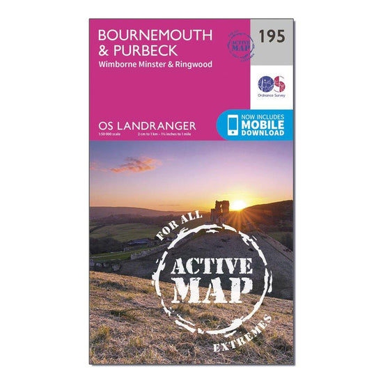
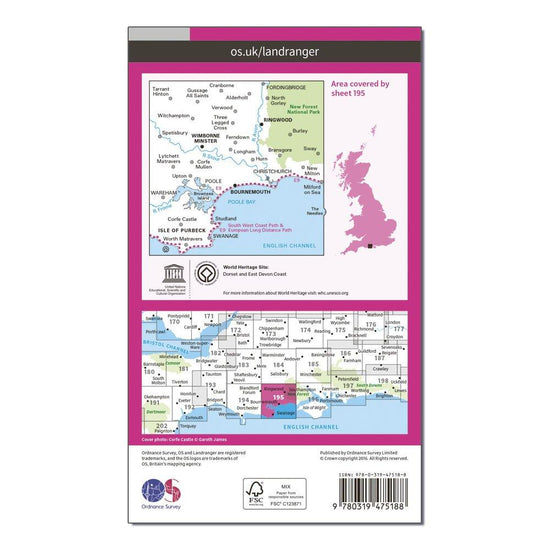
Ordnance Survey Landranger Active 195 Bournemouth & Purbeck, Wimborne Minster & Ringwood Map With Digital Version£10.20
£17.00(Save 40%)Size in stock : One Size
-
-
Ordnance Survey Landranger 52 Pitlochry & Crieff Map With Digital Version£7.80
£13.00(Save 40%)Size in stock : One Size
-
-
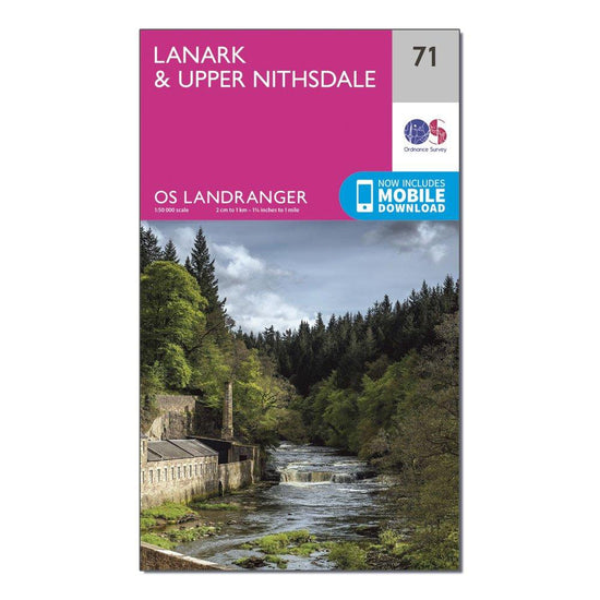
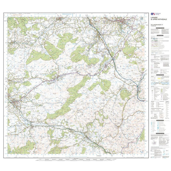
Ordnance Survey Landranger 71 Lanark & Upper Nithsdale Map With Digital Version£7.80
£13.00(Save 40%)Size in stock : One Size
-
-
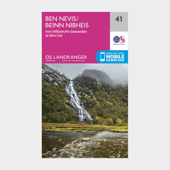
Ordnance Survey Landranger 41 Ben Nevis, Fort William & Glen Coe Map With Digital Version£7.80
£13.00(Save 40%)Size in stock : One Size
-
-
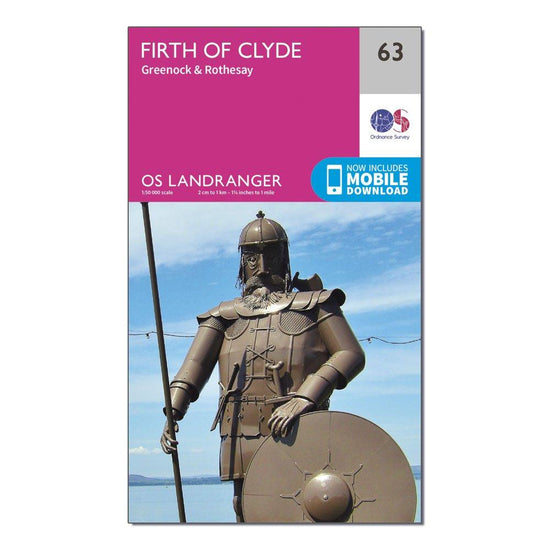
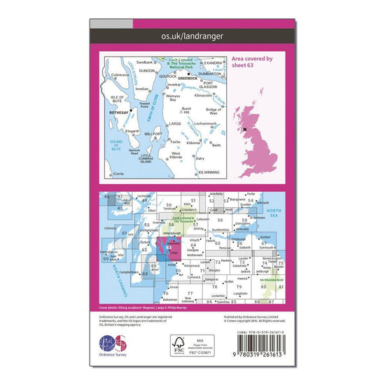
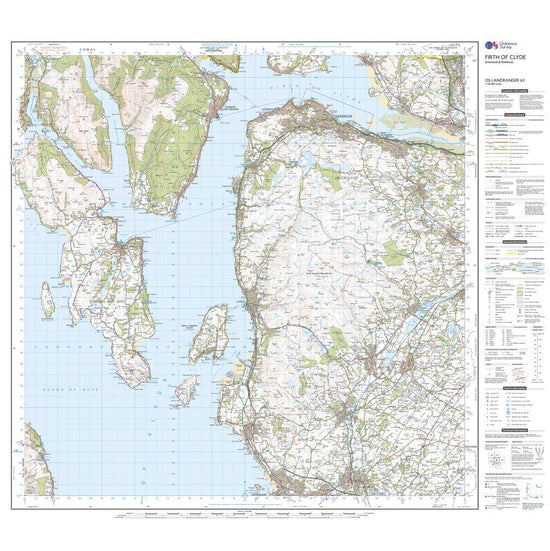
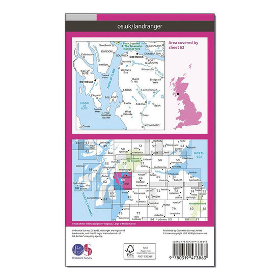
Ordnance Survey Landranger 63 Firth of Clyde, Greenock & Rothesay Map With Digital Version£7.80
£13.00(Save 40%)Size in stock : One Size
-
-
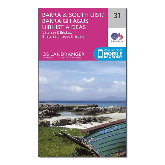
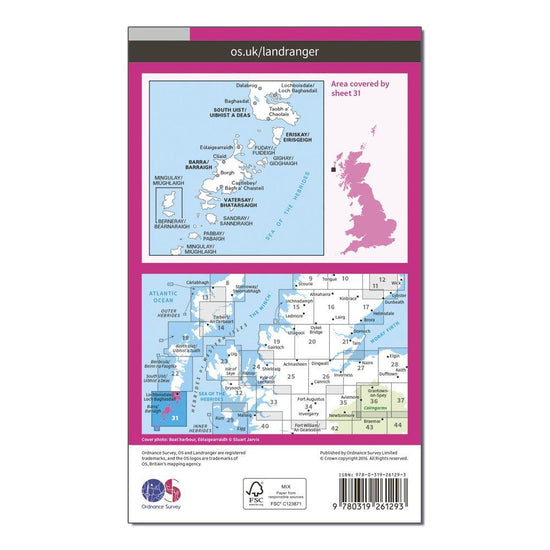
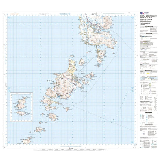
Ordnance Survey Landranger 31 Barra & South Uist, Vatersay & Eriskay Map With Digital Version£7.80
£13.00(Save 40%)Size in stock : One Size
-
-
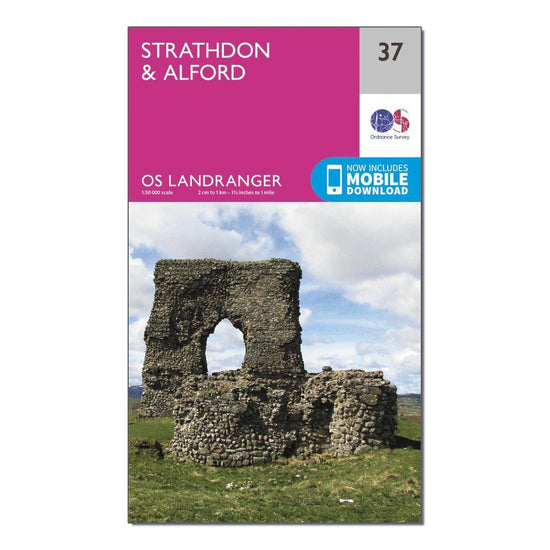
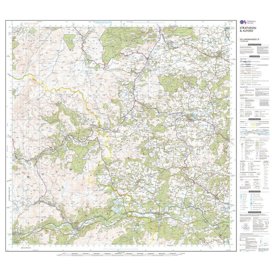
Ordnance Survey Landranger 37 Strathdon & Alford Map With Digital Version£7.80
£13.00(Save 40%)Size in stock : One Size
-
-
Ordnance Survey Landranger 46 Coll & Tiree Map With Digital Version£7.80
£13.00(Save 40%)Size in stock : One Size
-
-
Ordnance Survey Landranger 141 Kettering & Corby Map With Digital Version£7.80
£13.00(Save 40%)Size in stock : One Size
-
-
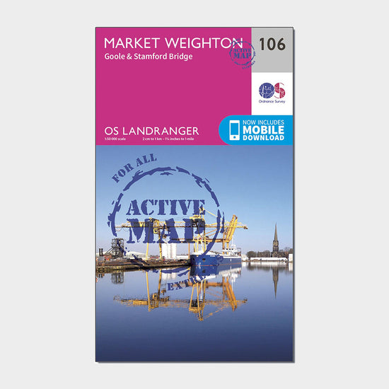
Ordnance Survey Landranger Active 106 Market Weighton, Goole & Stamford Bridge Map With Digital Version£10.20
£17.00(Save 40%)Size in stock : One Size
-
-
Ordnance Survey Landranger 118 Stoke-on-Trent & Macclesfield Map£7.80
£13.00(Save 40%)Size in stock : One Size
-
-
Ordnance Survey Landranger 17 Helmsdale & Strath of Kildonan Map£7.80
£13.00(Save 40%)Size in stock : One Size
-
-
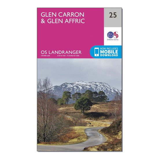
Ordnance Survey Landranger 25 Glen Carron & Glen Affric Map With Digital Version£7.80
£13.00(Save 40%)Size in stock : One Size
-
-
Ordnance Survey Landranger Active 1 - Shetland Yell, Unst and Fetlar Map With Digital Version£10.20
£17.00(Save 40%)Size in stock : One Size
-
-
Ordnance Survey Landranger 39 Rum, Eigg & Muck Map With Digital Version£7.80
£13.00(Save 40%)Size in stock : One Size
-
-
Ordnance Survey Landranger 99 Northallerton & Ripon, Pateley Bridge & Leyburn Map With Digital Version£7.80
£13.00(Save 40%)Size in stock : One Size
-
-
Ordnance Survey Landranger 34 Fort Augustus, Glen Roy & Glen Moriston Map With Digital Version£7.80
£13.00(Save 40%)Size in stock : One Size
-
-
Ordnance Survey Landranger 28 Elgin, Dufftown, Buckie & Keith Map With Digital Version£7.80
£13.00(Save 40%)Size in stock : One Size
-
-
Ordnance Survey Landranger Active 103 Blackburn & Burnley, Clitheroe & Skipton Map With Digital Version£10.20
£17.00(Save 40%)Size in stock : One Size
-
-
Ordnance Survey Landranger 32 South Skye & Cuillin Hills Map£7.80
£13.00(Save 40%)Size in stock : One Size
-
-
Ordnance Survey Landranger 201 Plymouth & Launceston, Tavistock & Looe Map With Digital Version£7.80
£13.00(Save 40%)Size in stock : One Size
-
-
Ordnance Survey Landranger Active 63 Firth of Clyde, Greenock & Rothesay Map With Digital Version£10.20
£17.00(Save 40%)Size in stock : One Size
-
-
Ordnance Survey Landranger 20 Beinn Dearg & Loch Broom, Ben Wyvis Map With Digital Version£7.80
£13.00(Save 40%)Size in stock : One Size
-
-
Ordnance Survey Landranger 11 Thurso & Dunbeath Map With Digital Version£7.80
£13.00(Save 40%)Size in stock : One Size
-
-
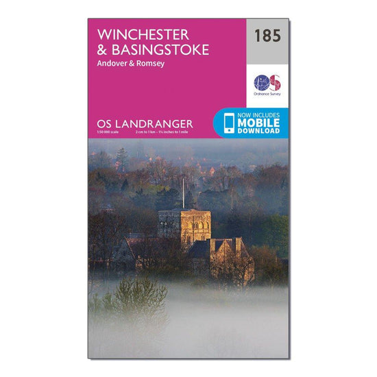
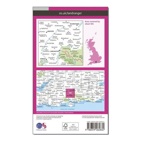
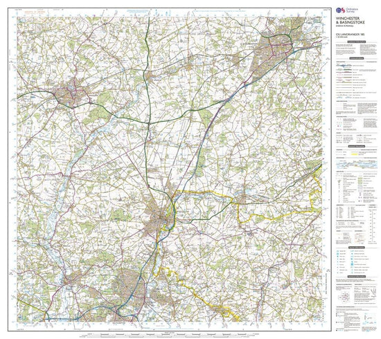
Ordnance Survey Landranger 185 Winchester & Basingstoke, Andover & Romsey Map With Digital Version£7.80
£13.00(Save 40%)Size in stock : One Size
-
-
Ordnance Survey Landranger 135 Aberystwyth & Machynlleth Map With Digital Version£7.80
£13.00(Save 40%)Size in stock : One Size
-
-
Ordnance Survey OS Landranger 121 Lincoln & Newark-on-Trent Map£7.80
£13.00(Save 40%)Size in stock : One Size
-


Showing 576 of 869 results
Recently viewed
Maps unlock adventure. It’s as simple as that. And the best in the business is Ordnance Survey; the national mapping agency for Great Britain. For decades’ outdoor adventurers of all types have used Ordnance Survey maps to reach viewpoints, navigate the landscape and discover new places to explore. Traditional paper maps provide unrivalled detail of the terrain and allows you to see the lay of the land in miniature. Ordnance Survey produce an extensive selection of maps which cover Great Britain, with their active range popular on wet UK adventures. Prefer to go digital? Ordnance Survey also has a range of options for GPS devices and smartphones allowing you to plot your map and see on your device the route ahead. Walkers, hikers, campers, cyclists and families benefit from these detailed paper and digital navigational tools everywhere.